
Exploring the Lush Terrain of Chino Hills: An Aerial Perspective
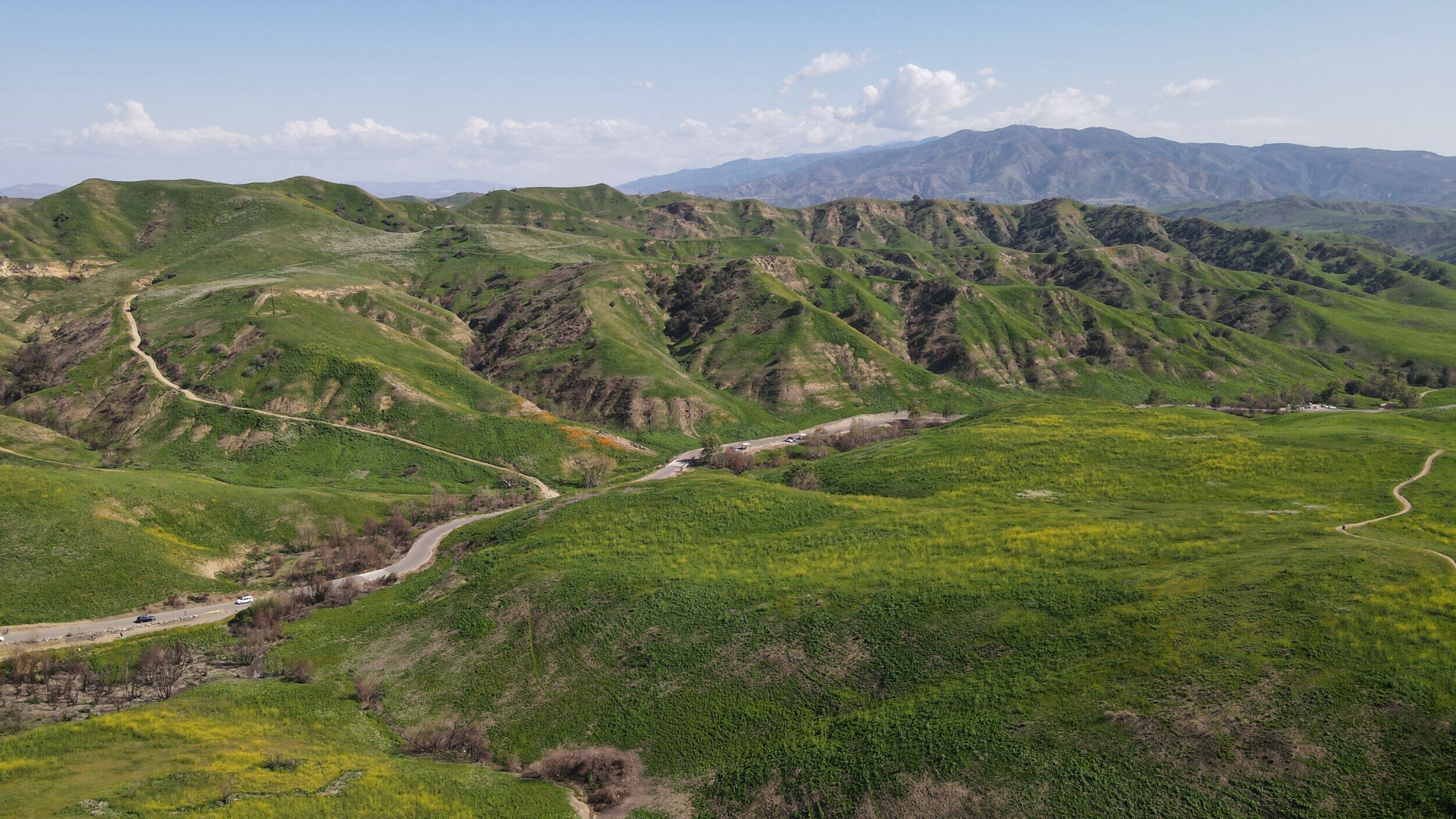
Chino Hills, CA, is a sanctuary of rolling landscapes—a place where nature's artistry is on full display. From the vantage point of a DJI Mavic Air 2, the topography unfolds like a vibrant tapestry woven with the greens of nature and the earthy hues of the California terrain.
The city, nestled within San Bernardino County, is a treasure trove of open spaces and natural parks, covering over 3,000 acres. It's a realm where recreational activities flourish, and locals connect with the environment. Chino Hills takes pride in its commitment to conservation, as evidenced by its Water Efficient Landscape Ordinance and programs aimed at reducing outdoor water use.
Through the lens of advanced drone technology, we witness the sheer scale of Chino Hills' commitment to maintaining its natural beauty and sustainability. It's a visual journey across undulating hillsides brushed with the season's palette—whether it be the golden tinge of summer or the lush greenery after the rains.
This blog post will delve into the essence of Chino Hills' landscapes, the city's environmental stewardship, and the recreational joys that these green spaces offer. Join us on an elevated tour over the city's picturesque environment, where every frame captured by the drone is a narrative of Chino Hills' symbiotic relationship with nature.